Barrick Gold Infrastrucutre Mapping
K&F Consulting partnered with Barrick Gold to develop a mapping application designed to streamline geospatial data collection and enhance decision-making processes for mining operations.

Project Objectives
The primary objective of this project was to develop a mapping application that integrated diverse geospatial tools to empower Barrick Gold's operational decision-making.
Key Features of the Mapping Application
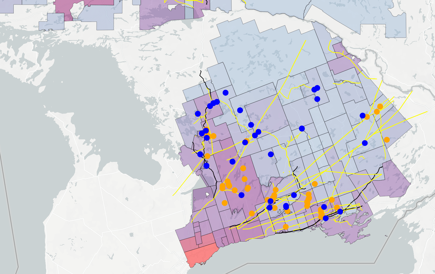
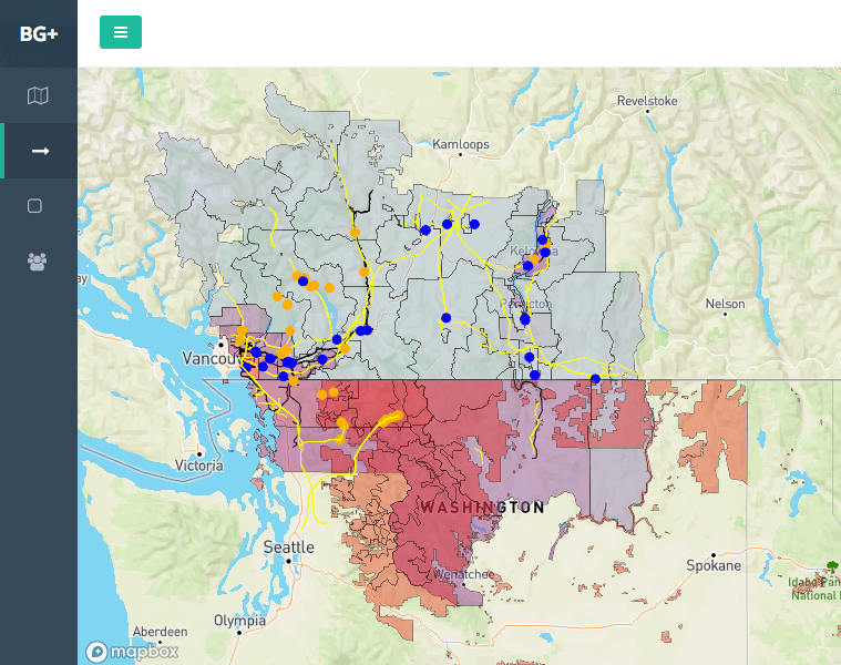
K&F Consulting crafted a customized mapping application that integrated GIS data into a user-friendly interface. The application boasted a range of powerful tools:
- Distance Measurement Tools: The application included distance measurement tools, allowing users to precisely calculate highway routes to specific locations. This feature facilitated strategic planning for transportation logistics, optimizing routes for efficiency and resource utilization.
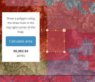
- Acreage Measurement by Drawing Polygons: Users could draw polygons directly on the maps, enabling accurate acreage measurement. This functionality was crucial for land management and resource allocation, providing a dynamic and visual way to assess and plan mining activities.
- Interactive User Interface: The mapping application featured an intuitive and interactive user interface, enhancing user experience and accessibility. The interface was designed to accommodate users with varying levels of GIS expertise, making geospatial data more accessible.


